- Monday 09 July 2018
- 0 Comments
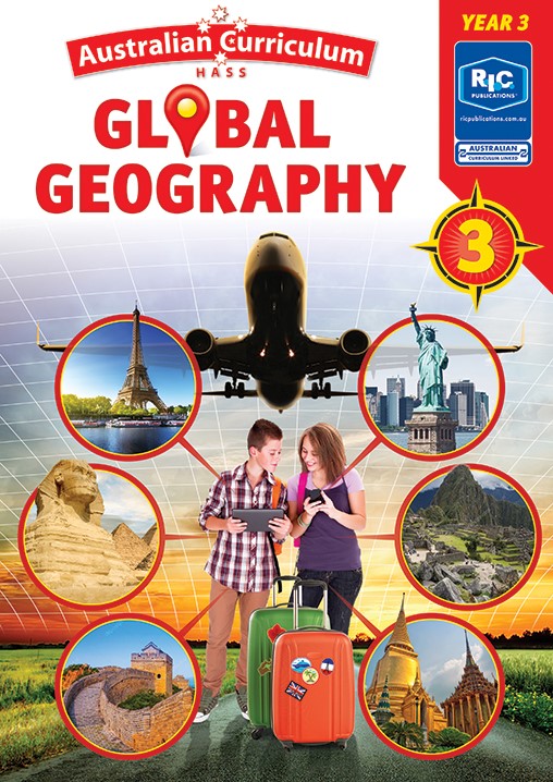
Are you looking to include more ICT into your geography program? Our soon-to-be-released Global geography series incorporates ICT into every one of the lesson plans!
This includes brainstorming and recording questions using apps or online mind maps; researching information online using interactive maps, tables and graphs, videos (including time-lapse videos), images and informational websites (including government websites); recording research using apps and online charts, Venn diagrams and KWL charts; and communicating understanding by creating a digital presentation, such as a slideshow, a blog, an animation, a poster, a video, a travel brochure, a digital book or an advertisement.
Want to get ahead of the game?
- Familiarise yourself with online tools such as Mindmup, Wordle, Powtoon TM, Piktochart and Creately.
- Download and explore apps such as Popplet, Canva, ShowMe, Seesaw, Sock puppets, Microsoft PowerPoint™, Keynote, Chatterbox, Green screen, Chatterpix and iMovie®.
- Navigate interactive maps such as Google Maps™, Google Earth™, National Geographic MapMaker Interactive, FlightConnections and the Australian Mines Atlas.
- Explore interactive graphs such as ABC Splash and ConCensus, and the bubble charts here.
